Entry Terms & Conditions
Ring O’ Fire Race Series – Entry Terms & Conditions (2026 Edition) Eligibility All entrants must be 18 years or…
Run for Charity
Run for Charity -make a difference and help others This year, we’re offering a limited number of charity places in…
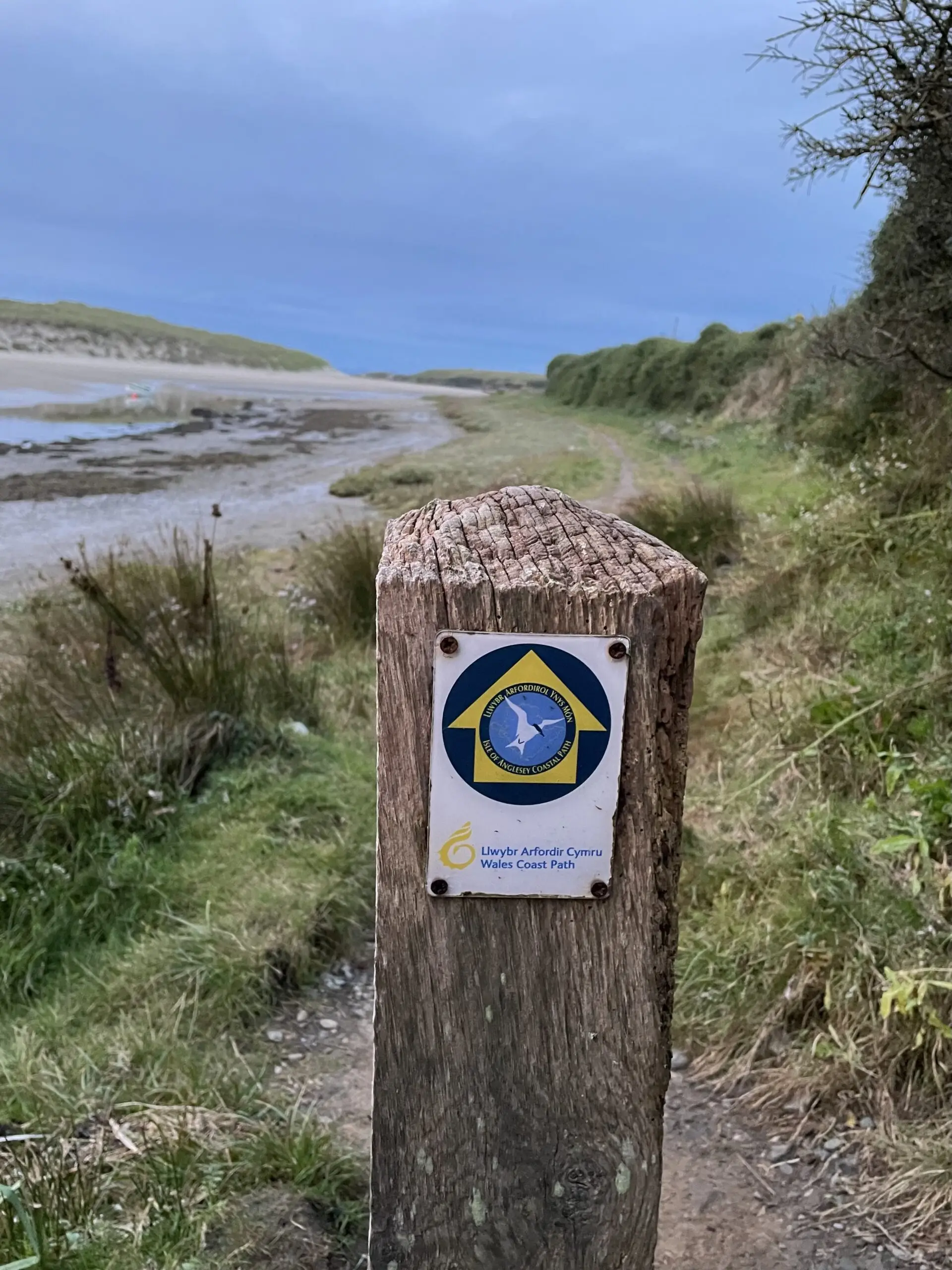
Navigation & Maps
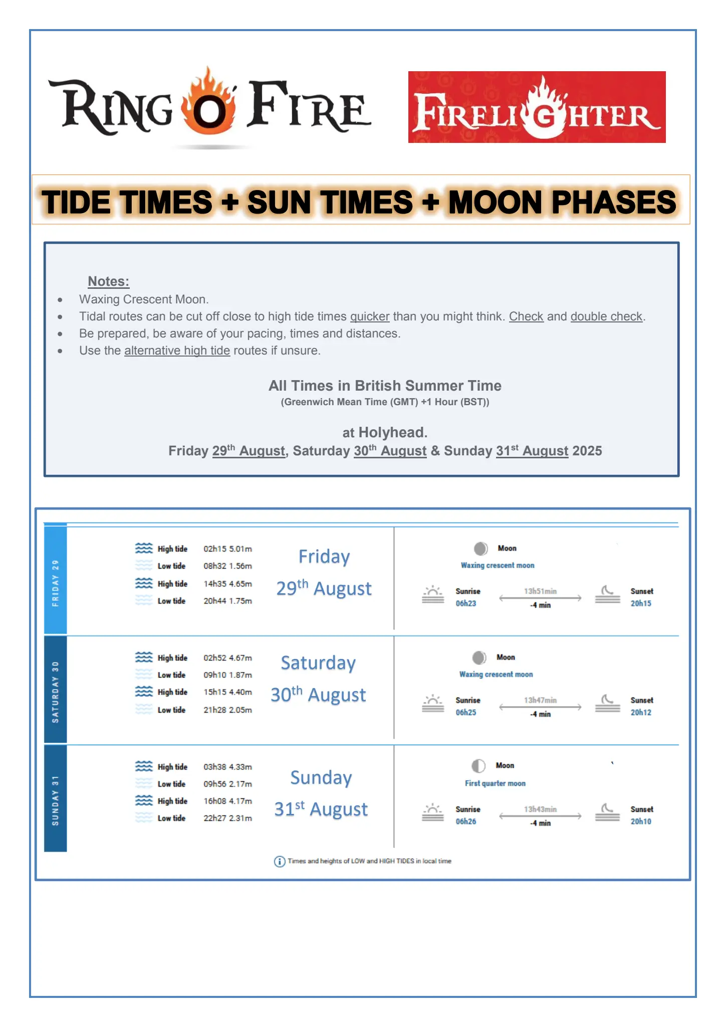
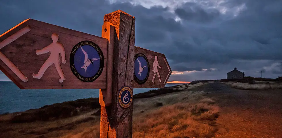
Navigation While advanced navigational skills aren’t required, a basic understanding is necessary. We strongly recommend carrying a map, compass, and…
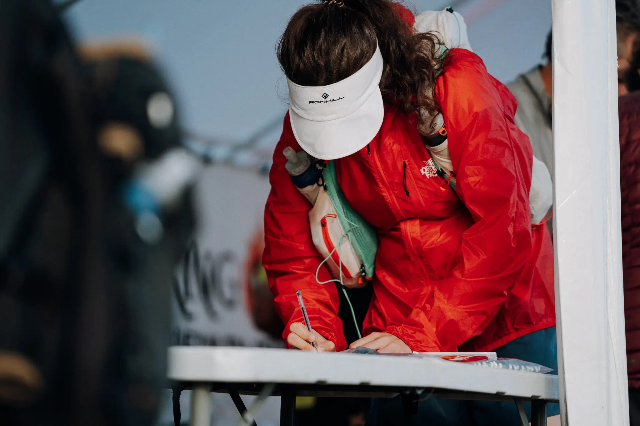
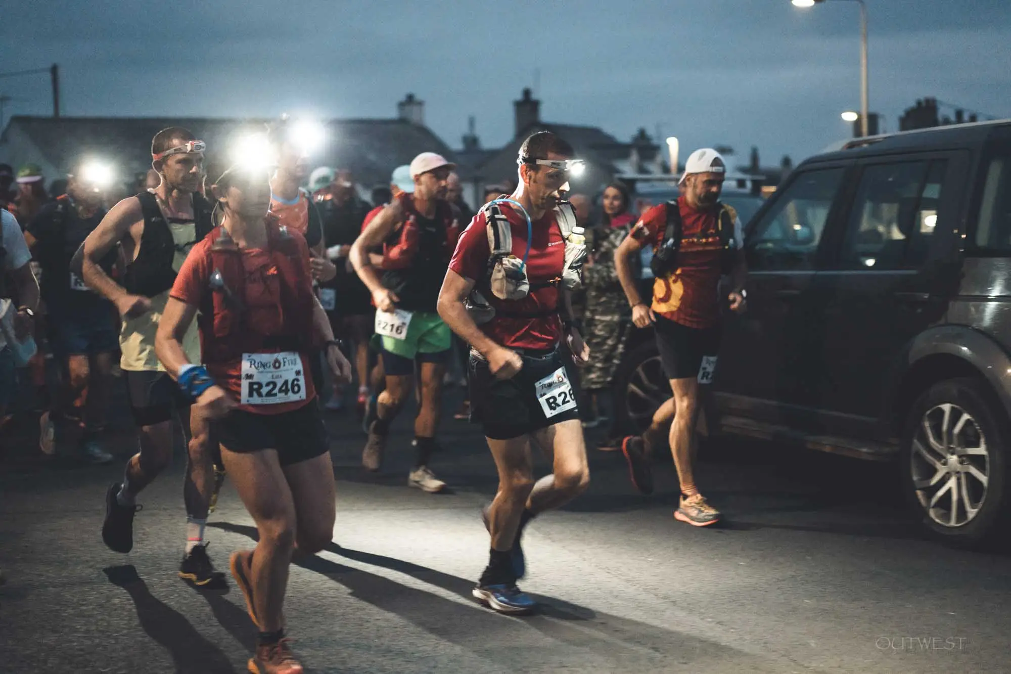
Registration & Race Essentials Pick-Up
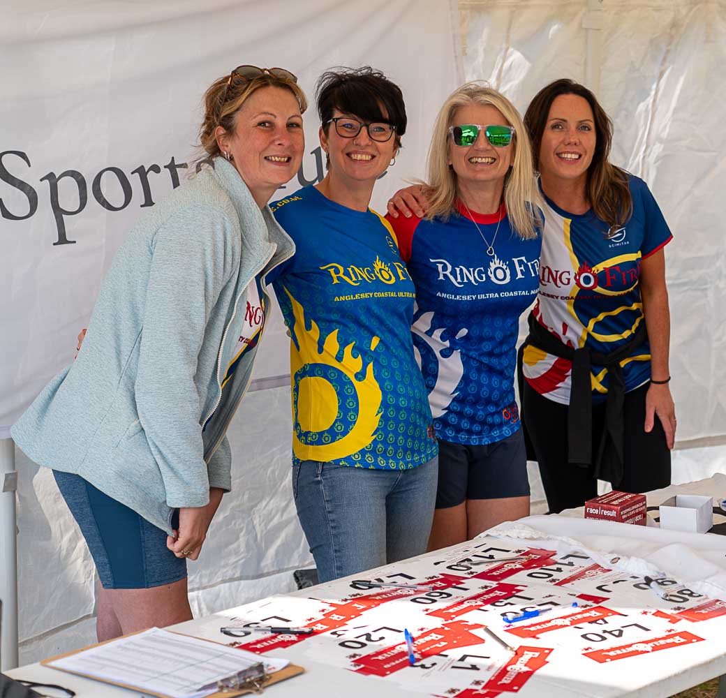
Location: Holyhead Breakwater Country Park, Holyhead, LL65 1YG You can register and collect your race essentials at the following times:…


Travelling here
Post Code: LL65 1YG Ring O’ Fire and Firelighter events both start at Holyhead Breakwater Country Park, Holyhead. Travel Options…

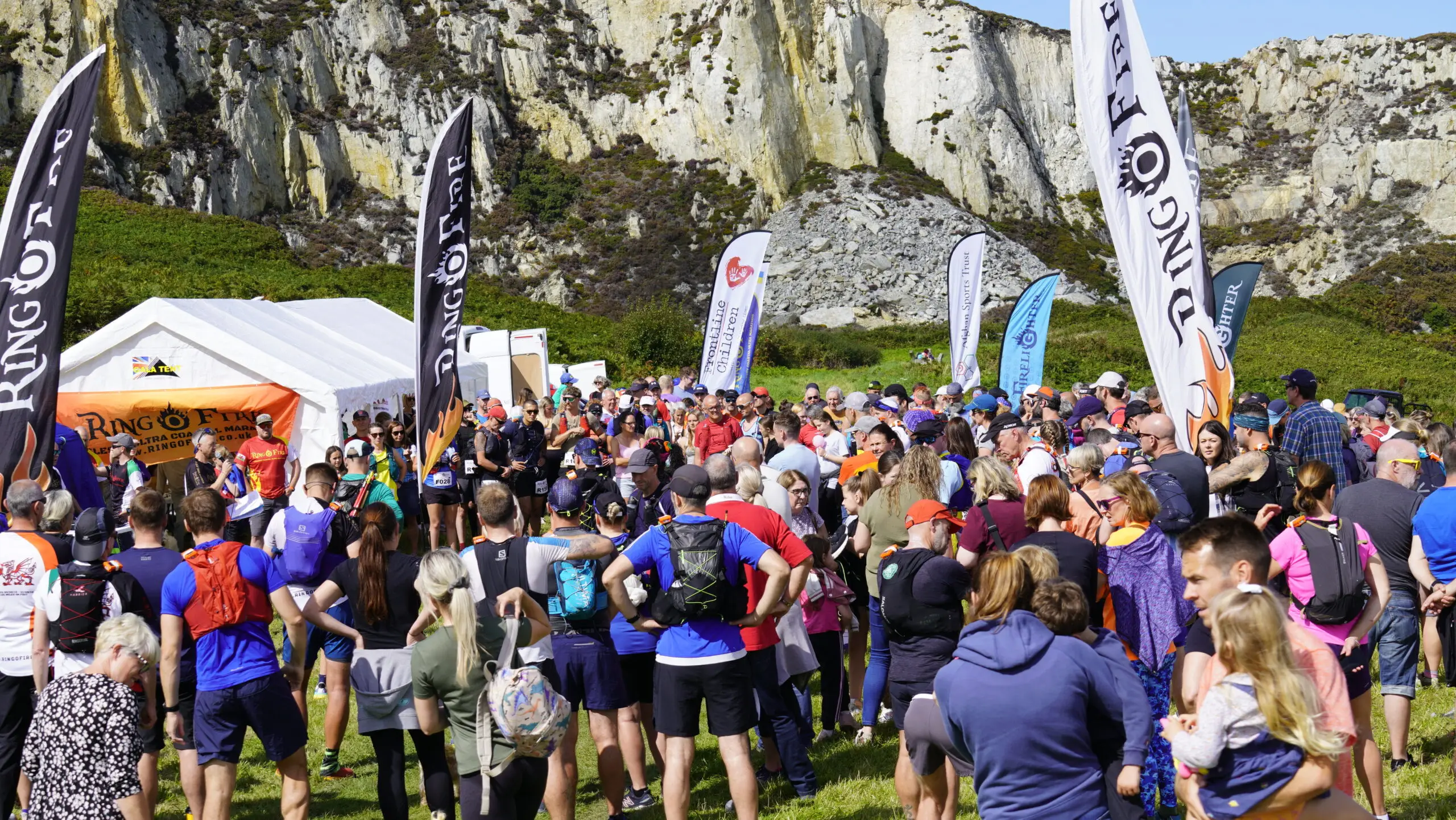
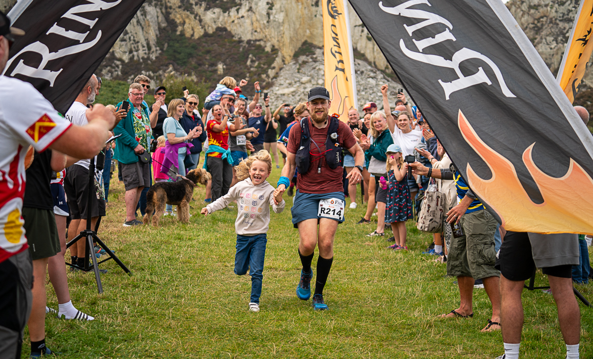
Supporters
We encourage all supporters, friends, and family to cheer on our runners. Welcoming Locations You are very welcome at the…
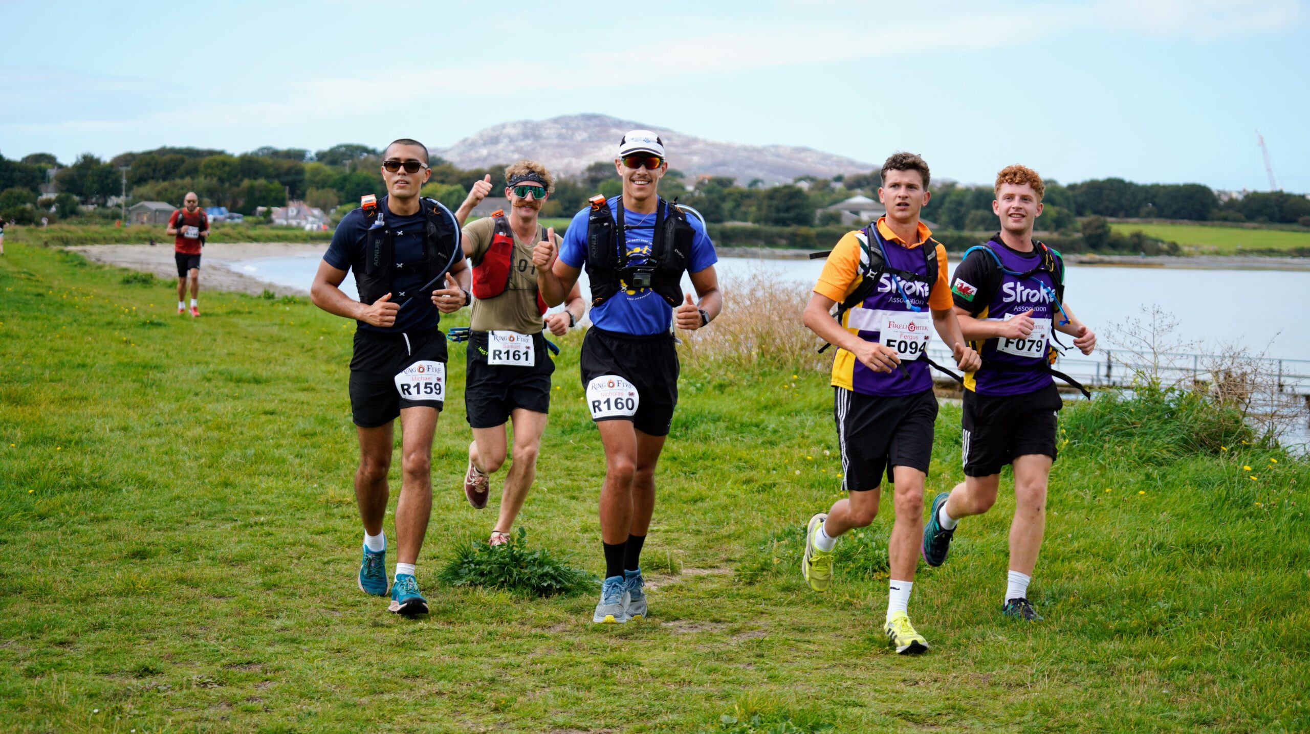
Route Overview
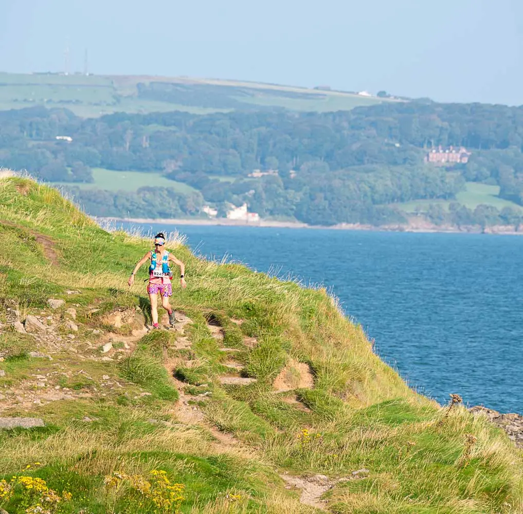
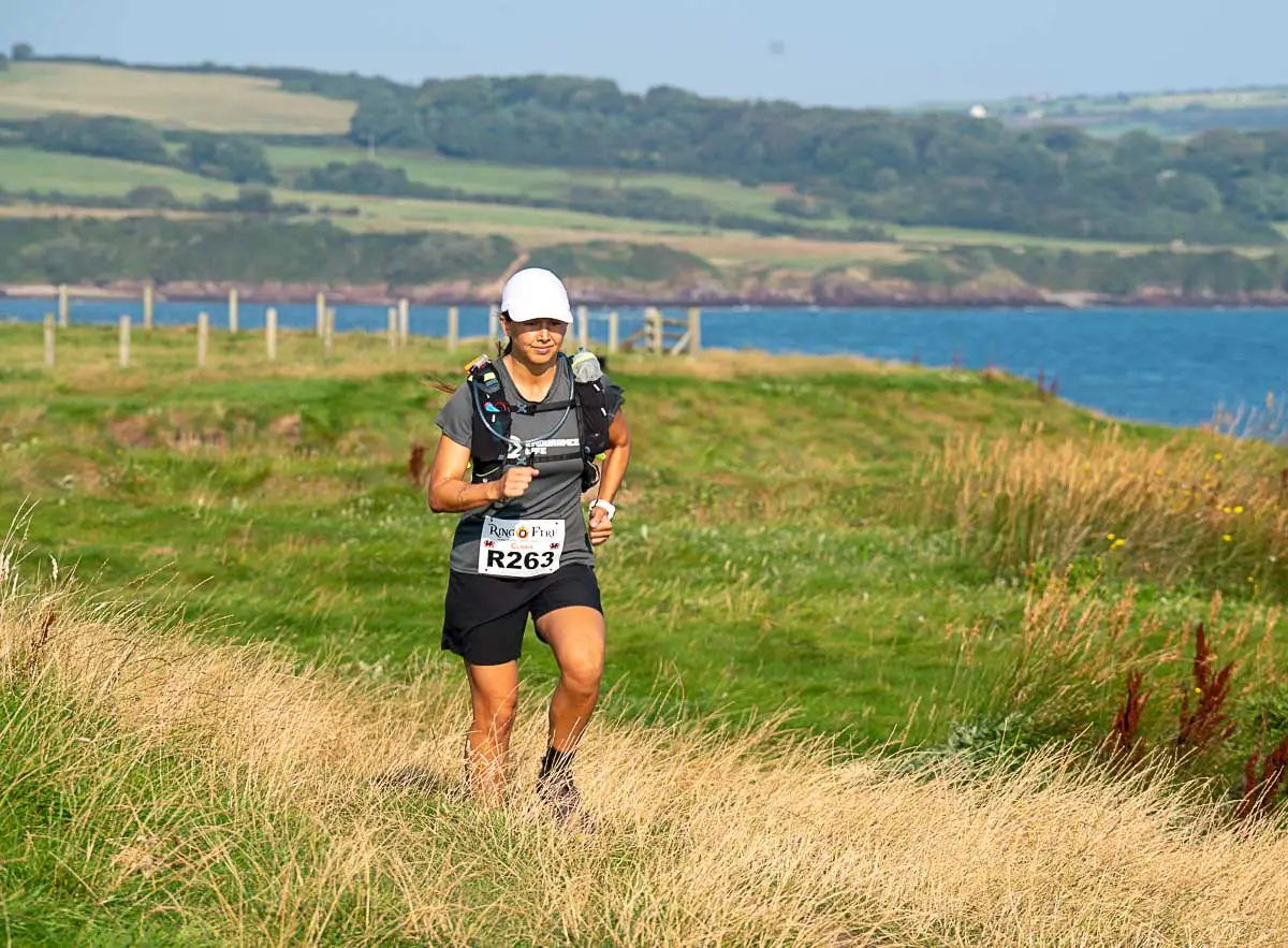
Ring O’ Fire 130: Starting and finishing at Breakwater Country Park, Holyhead, the Ring O’ Fire 130 is a full…
Bag Transport
Your resupply bag will be transported from the start point to checkpoints 1. Ring O’ Fire 130 Your resupply bag…
Race Rules
For a fair competition and a safe experience, we ask all runners to follow our race rules Ring O’ Fire…